Location: Khurai, Bina, Sehore and Mahidpur – Madhya Pradesh
Client: Urban Administration and Development, M.P
Year: 2016
The Urban Infrastructure Development Scheme for Small & Medium Towns (UIDSSMT) aims at improvement in urban infrastructure in towns and cities in a planned manner. It shall subsume the existing schemes of Integrated Development of Small and Medium Towns (IDSMT) and Accelerated Urban Water Supply Programme (AUWSP).
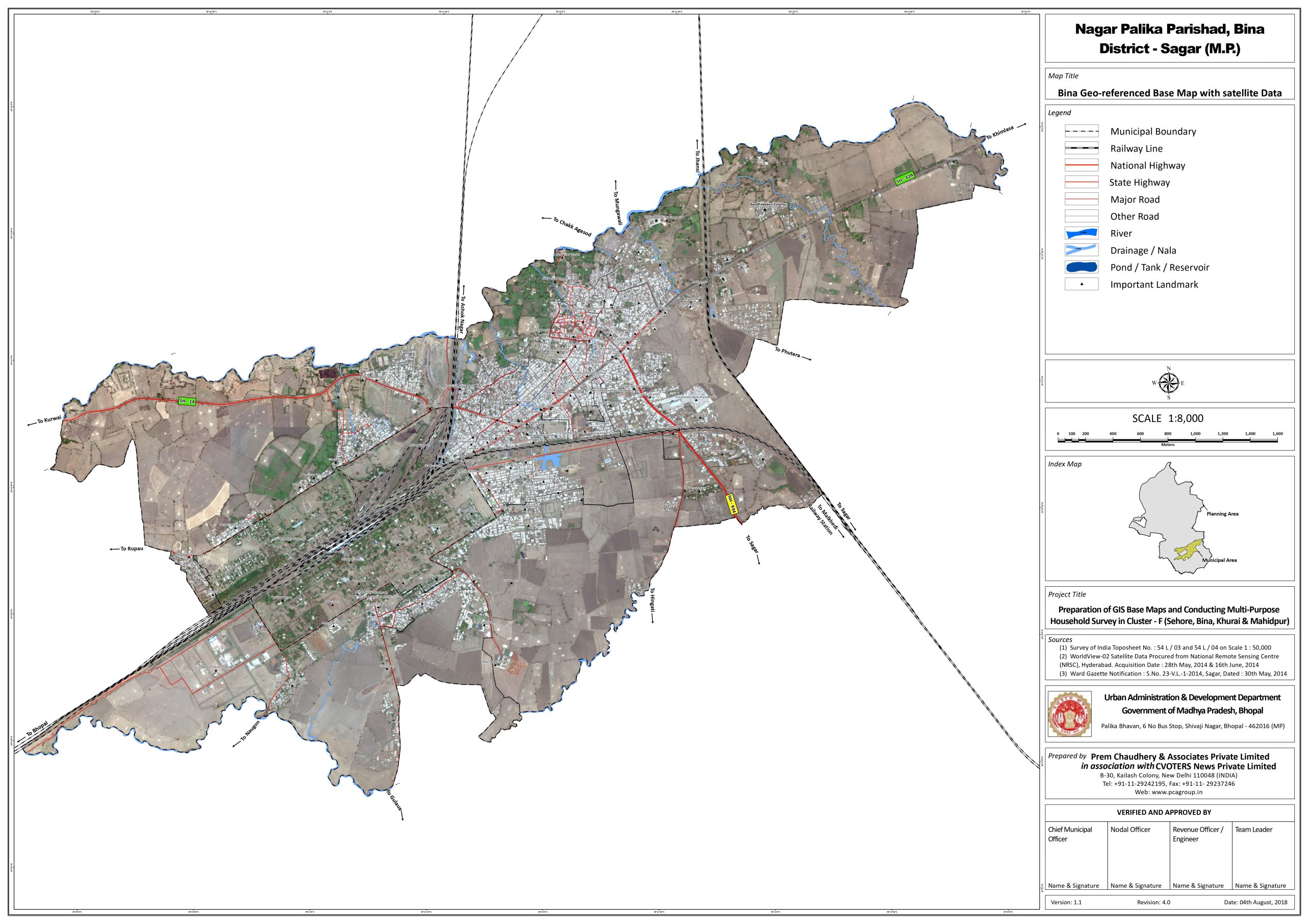
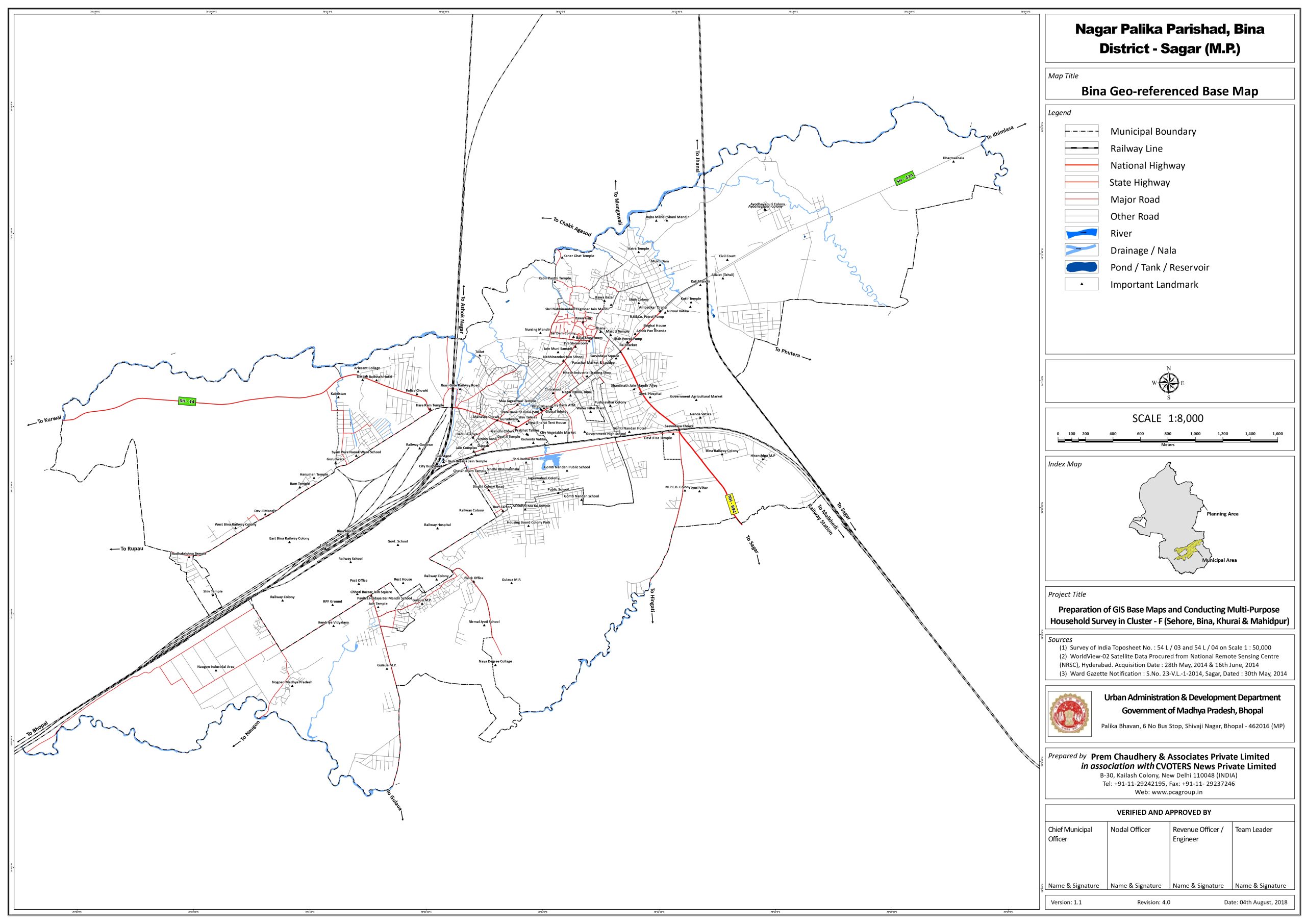
Our approach was to prepare Geo-referenced base map showing properties and key physical features based on latest satellite data and GIS technology. Integrated database of city-wide properties, revenue data, slum households, and slum infrastructure and service data.
Our Scope of work under the assignment includes;
• Preparation of Geo-referenced Base Map. • Multi-Purpose Household Survey (MPHS). • Piloting and finalization of survey method and instruments. • Survey training. • Component (a): Revenue survey. • Component (b): Socio-economic survey of slums. • Data collation and creation of records.
Based on the above activities, following results are be achieved under the project;
• Geo-referenced base map showing properties and key physical features based on latest satellite data and GIS technology. • Integrated database of city-wide properties, revenue data, slum households, and slum infrastructure and service data. • The household and slum service-level surveys will provide baseline data which can be updated and accurate poverty and infrastructure/service data enabling identification of priority slums for investment. • Comprehensive and updated data on property tax, water connections and on plot sanitation for all properties. • Verification/reconciliation of data collected with existing municipal manual and computerized (MIS) revenue and water tax records. • Data collation and creation of records. • ULBs capable of using the data and updating the Revenue data.
Final GIS base map showing coverage of all properties linked with the MPHS database (including basic customization)